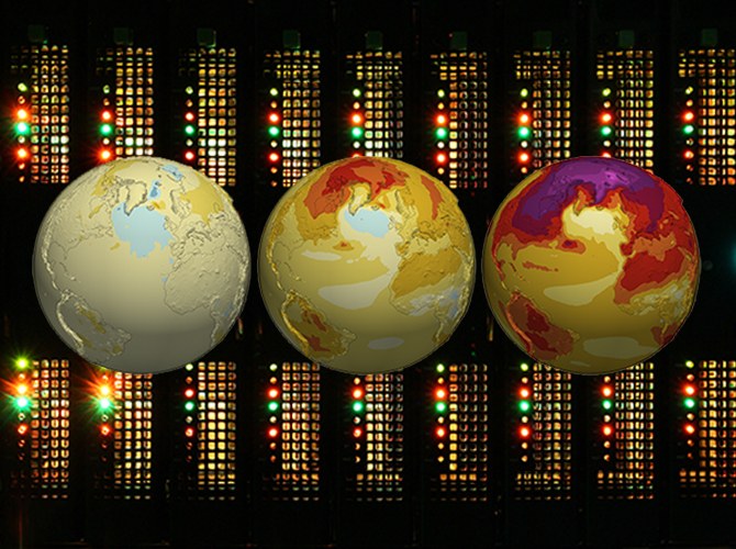
The EERIE project aims to develop a new generation of Earth System Models (ESMs) with a 10 km resolution for the atmosphere and ocean to study climate response and climate variability in an eddy-rich ocean. This scale of a few 10 kilometers to 100 kilometers, also called the ocean mesoscale, is important for the Earth system. This is because, on the one hand, mesoscale ocean eddies influence the transport of heat, freshwater, and substances such as carbon, especially to the deeper ocean. On the other hand, the mesoscale ocean fronts cause an enhanced interaction between the atmosphere and the ocean. Thus, they influence atmospheric variability and climate extremes.
By leveraging the latest advances in science and technology, EERIE is expected to enable climate simulations with very high spatial resolution over several hundreds of years. The DKRZ takes over the core tasks of data management for EERIE simulations from data standardization to data archiving, especially for our partner institutions MPI-M and AWI. By hosting, refining and publishing quality assured EERIE data sets on disks, cloud and archive, DKRZ contributes to the success of EERIE.
Responsibles:
Duration:
01/2023-12/2026
Funding:
41 PM